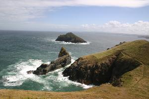
The Rumps & Pentire Head
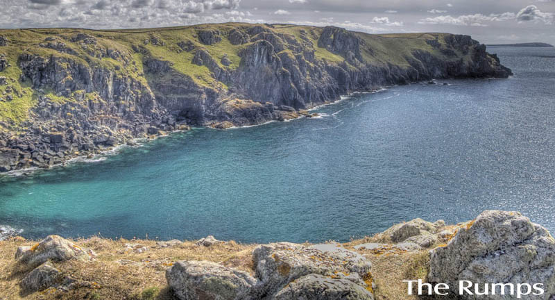
The Rumps
The Rumps - Iron Age Hill Fort
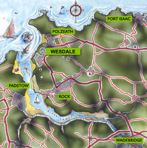
This National Trust owned area is the site of Iron Age cliff fortifications, near Pentire Point, and a great coastal walk from either Port Quinn or Polzeath.
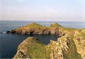
Pentire Point
Pentire Point at the mouth of the Camel Estuary, is a stunning 20 minute walk from the Rumps.
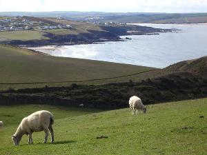
Pentire Point extends from New Polzeath along the cliff-top, running the length of the beach at Polzeath, Hayle (meaning estuary in Cornish) Bay, and juts out pointing northwest into the Atlantic Ocean.
The corner of the headland is Pentire Point itself, with a sheer 80 foot cliff down into the Atlantic and a sensational view of the Camel Estuary. About a mile off the Point lies the tiny island of Newland.
Pentire Head